
Walk a La Crosse Street
A La Crosse street directory search works best as a record chain. The parcel roll identifies the assessed owner and supplies a parcel number and legal description. GIS organizes nearby lots. Deeds show transfers, while voter and directory records may add evidence about occupancy. No one source names every person in a home, so save the date and purpose of each result.
- Enter the house number and street in the La Crosse County parcel search. Save the owner, parcel number, legal description, and tax year.
- Open the same spot in the county GIS viewer. Click nearby parcels to see where each mapped lot begins and ends.
- Use MyVote Wisconsin for an individual's registration and polling information, not as a public street roster.
- Search the owner in Tapestry. Follow grantor and grantee names to connect the parcel with recorded transfers.
- For older occupants, browse the address section of a dated directory and confirm the name in other records.
The useful flow is address to parcel, parcel to owner, owner to deed, then occupancy evidence from the right year. If the question narrows to one name, the La Crosse resident lookup gives that task its own process.
Keep a small source log while moving along the block. Write down the portal, search term, tax or publication year, and exact name shown. A deed recorded this month, a tax card prepared for the current roll, and a directory printed decades ago cannot answer the same occupancy question. The log also makes spelling conflicts easier to resolve. Directional suffixes, unit numbers, and street types should be copied exactly before trying shorter forms.
Search La Crosse Parcels
The La Crosse County Real Property Listing page points to the Land Records portal. Search one field at a time. The lister maintains parcel numbers, ownership and mailing addresses, brief legal descriptions, district codes, assessment rolls, tax bills, and tax reports.
| Portal field | Input | Required | Local search note |
|---|---|---|---|
| Owner name | Text | No | Search the current assessed owner alone |
| Mailing or parcel address | Text | No | Separate situs from mailing address |
| Parcel number | Text | No | Use ##-#####-### and pad with zeroes |
| Tax bill number | Text | No | Tied to a tax year |
| Tax year | Dropdown | No | Try the current year if a result is missing |
The manifest capture shows the county parcel entry and its owner, address, and tax-bill guidance. Open the official source before viewing the screen.
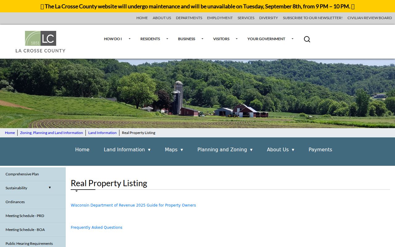
The returned parcel card supplies the stable identifiers used later in a street directory search.
A parcel result can also explain why a plain address query fails. Vacant land may lack the house number a researcher expects. A combined tax parcel can span more than one structure, and a condominium may use one street address with separate parcel identifiers. Search the mapped location, current owner, and formatted parcel number separately. If the city assessor and county display differ, note the tax year and ask which office maintains the controlling assessment record.
La Crosse Address Types
A parcel may show both its physical location and the address used for tax mail. They are not interchangeable. An owner can receive mail at a post office box, another city, or another property. The situs address is the key for walking a street by address. A mailing field may help locate an owner, but it does not prove residence.
- Parcel
- A mapped unit of land with a county identifier.
- Situs address
- The street location assigned to land or a building.
- Plat
- A recorded map dividing land into lots, blocks, streets, or other features.
- Criss-cross directory
- A directory arranged by street and house number rather than surname.
City parcels may require the City of La Crosse assessor. Check jurisdiction before treating a missing county result as proof that no record exists. Parcel numbers and legal descriptions also survive many changes in street wording.
Note: The assessment name identifies the taxpayer of record, not every person who lives at or receives mail at the address.
La Crosse Records by Street
Several sources accept an address or connect back to one. Their scope differs. The La Crosse street directory is strongest when each result is labeled by date and purpose, so an assessed owner is not confused with an occupant or community contact.
| Address record | Custodian | What it adds | Access route |
|---|---|---|---|
| Parcel and tax roll | County lister or city assessor | Owner, mailing address, parcel, value | Web portal and custodian help |
| GIS parcel map | County Land Information | Nearby lots, size, assessment, districts | Free Parcels app |
| Recorded deeds | Register of Deeds | Grantor, grantee, legal description, transfers | Tapestry; office for older books |
| Voter information | County Clerk and state system | Individual registration and polling details | MyVote; statutory data request |
| Permit and code files | City custodian | Work, zoning, and address evidence | Written request |
| Historic directories | Public Library Archives | Named householders in a stated year | Older online, newer onsite |
The parcel number ties tax records to deeds. A legal description bridges an old deed to a current lot even when an address fails. Ask for permits with a full address, record type, date span, and desired format.
Each row also has an offline route. County staff can help identify a parcel or explain the current portal. The Register of Deeds keeps the recorded instrument, not merely its index entry. Library staff can retrieve a bound volume when copyright prevents online access. City custodians can search permit or code files by a well-scoped address request. These fallbacks matter when a spelling variant, old number, or portal outage blocks the web search.
Browse La Crosse Street Parcels
The La Crosse County GIS portal offers Parcels, Zoning, and Public Land Survey System apps. Search by address, owner, or parcel ID, then click across the map. A parcel popup may show owner, assessment, school district, lot size, value, and a tax link. This is useful when the form returns just one parcel at a time.
County guidance says parcel lines are generally accurate to about three feet. Imagery and lines can appear offset because of survey ties, plat alignment, or image alignment. The map is a lead, not boundary evidence. Use a recorded survey when the exact line matters.
Map layers add context without adding residents. Zoning can explain a mixed commercial and residential stretch. Public Land Survey System data helps tie older legal descriptions to sections and subdivisions. School-district and tax links can confirm that two similar street labels belong to different parcels. Zoom to the lot, inspect its popup, and record the parcel ID before clicking the next property. That method avoids building a street list from labels that only look adjacent on the base map.
Follow La Crosse Street Ownership
The Tapestry index begins in June 1987 for La Crosse County. It supports name, legal description, document number, date range, and document type searches. One search costs $8.95 and returns up to 200 listings. Detail and image viewing are free; downloading or printing costs $2 for the first page and $1 for each added page.
Read the current deed for the grantor, then search that party as a grantee on an earlier deed. Repeat while matching the legal description. Narrow broad searches by date or tract before they hit the cap. June 1987 is only the online index boundary.
Insider tip. View the deed image before paying to print it, and narrow the date range before a search reaches 200 results.
Older books, deeds, and plats require the Register of Deeds office, archives, or a focused request. The office is at 212 6th Street North, Room 1400. Regular weekday hours end at 4:30 p.m.; recording ends at 3:30 p.m.
Older La Crosse Street Directories
An address-order directory can identify a householder when a parcel record only shows ownership. La Crosse volumes gained an address index around 1903, and post-1907 editions generally have name and address sections. Earlier work often begins with a surname, map, or deed.
Exact text searches miss initials, punctuation, abbreviations, and ranges such as “236-240 9th St S.” Browse page images and use the library worksheet. The complete shelf is covered on the La Crosse city directories page. Rural route lists in 1893, 1895, and 1932-1969 also extend past the city grid.
La Crosse Voters by Address
MyVote verifies one voter's registration, polling place, ballot, and elected officials. It does not publish every household on a street. Full voter data follows separate request and fee rules. Confirm available fields and access with the La Crosse County Clerk.
Polling wards are election geography, not occupancy proof. Wisconsin Safe at Home can protect a physical address under Wis. Stat. §165.68. A missing result also says nothing about age, citizenship, registration choice, or current presence.
Note: Use election records for their stated purpose, never as a complete household or street directory.
Request La Crosse Address Files
Permit, zoning, code, and development records may add dates, applicants, and work tied to a property. No verified public permit-search form was located. Ask the city planning or building custodian with the exact address, record type, date range, and preferred format.
Under Wisconsin Public Records Law, Wis. Stat. §§19.31-19.39, any person may request records. Ask for an electronic copy and cost estimate. The authority must respond as soon as practicable and without delay, though no single deadline fits every request.
Phone first when the correct department is unclear, then send the scope in writing. A precise request might seek final permits for one parcel during a stated span, not every file associated with a long street. Ask the custodian to explain withheld portions and to provide the rest when only part of a record is restricted. Copy and location costs must be actual, necessary, and direct under the law, so a cost estimate can prevent an unexpectedly broad search.
Protect La Crosse Deed Records
The Register of Deeds advertises a free Property Fraud Alert. It can notify an owner about a potentially fraudulent recording tied to a chosen name. The alert does not block a filing or settle title. It prompts the user to inspect the document and contact the office.
This service belongs in a by-street workflow because recorded deeds connect names to land. Use the office's published contact details rather than responding to an unsolicited deed-copy letter or urgent payment demand.
Limits of La Crosse Street Records
No official La Crosse street directory combines residents, owners, voters, and visitors. Parcels and deeds concern property interests. MyVote serves individual election checks. Historic directories are dated snapshots. Utility accounts, driver records, protected addresses, and many vital details are closed or limited.
Wisconsin motor-vehicle records are restricted by federal and state law. Safe at Home may supply a substitute address. Those limits protect people and are not proof that someone lacks a La Crosse connection. Commercial compilations may also merge names or retain an old phone or mailing address.
Lawful use. Use La Crosse address records for legitimate personal research, property history, or civic questions. Never use them to stalk, harass, threaten, or harm anyone.
Confirm important claims with the office that keeps the original. Dates matter, as do the differences among ownership, mailing, registration, and occupancy.